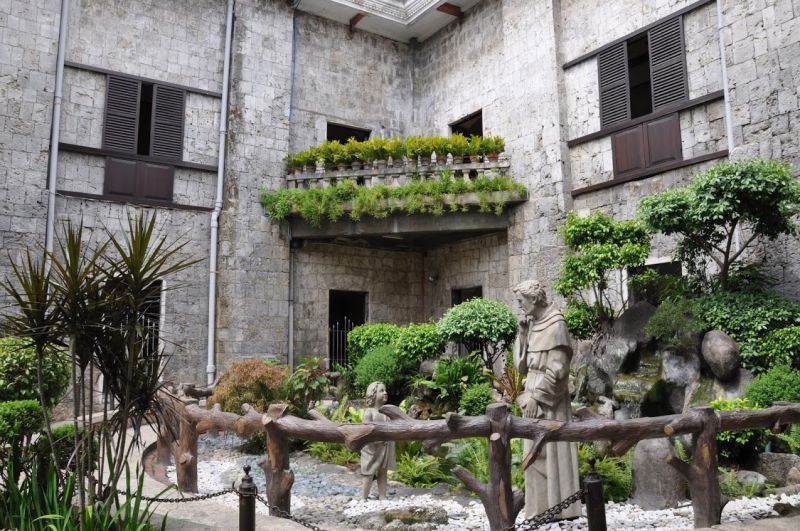
Common description
Cebu Island is located east of the island of Negros; to the east is Leyte Island, and to the southeast is Bohol Island. On both sides, the island of Cebu is surrounded by the Straits of Ceb (between Cebu and Bohol) and Tanyon (between Cebu and Negros).
Cebu is located between 9 ° 25's N and 11 ° 15'N and between 123 ° 13'E and 124 ° 5'E, in the center of the Philippine archipelago. Cebu is a long, narrow island that stretches 225 km from north to south; it is surrounded by 167 neighboring small islands, including Mactan, Bantayan, Malapascua, Olango and Kamotsky Islands. Of the hundreds of other smaller islands, many are uninhabited. The administrative center of the island is the city of Cebu - the second largest and oldest city in the Philippines.
Cebu is located between 9 ° 25's N and 11 ° 15'N and between 123 ° 13'E and 124 ° 5'E, in the center of the Philippine archipelago. Cebu is a long, narrow island that stretches 225 km from north to south; it is surrounded by 167 neighboring small islands, including Mactan, Bantayan, Malapascua, Olango and Kamotsky Islands. Of the hundreds of other smaller islands, many are uninhabited. The administrative center of the island is the city of Cebu - the second largest and oldest city in the Philippines.
Cebu on map
+ 29°C