Common description
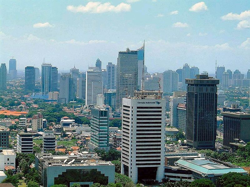
Jakarta is a special metropolitan area, the capital and largest city of Indonesia. It is located on the northwest coast of the island of Java at the confluence of the Chiliwung (Cali Besar) river into the Java Sea. Area - 664 km² (including Pulau Seribu group of islands). Population: 9 607 787 people (2010, census). Population density - 14 469,56 people per square meter. km. Religious composition: 85.5% - Muslims, 5.2% - Protestants, 4.8% - Catholics, 3.5% - Buddhists, 1% - Hindus.
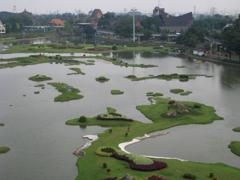
Jakarta is located on the northwest coast of Java Island, near the Jakarta Bay of the Java Sea. In the northern part of Jakarta, the surface is flat, approximately 8 meters above sea level. In 2012, due to the active consumption of groundwater, the subsidence of the soil goes at a speed of ten centimeters per hour.In particular, it is the cause of frequent flooding. According to national media, more than half of the capital lies below sea level, which is why in the rainy season many areas of Jakarta find themselves flooded: powerful pumps that pump water do not do their job. Meanwhile, the subsidence process is accelerating. [2] [3] In the southern parts of the city is hilly. About 13 rivers flow through Jakarta, most of them flowing through the hilly southern parts of the city and flowing north into the Javanese Sea. The most significant river is Chillingung, which divides the city into western and eastern regions. The city is bordered by West Java province in the east, and Banten province in the west. The territory of the Thousand Islands Archipelago, administered administratively by Jakarta, is located in the Gulf of the same name north of the main part of the city.
Jakarta is located on the northwest coast of Java Island, near the Jakarta Bay of the Java Sea. In the northern part of Jakarta, the surface is flat, approximately 8 meters above sea level. In 2012, due to the active consumption of groundwater, the subsidence of the soil goes at a speed of ten centimeters per hour.In particular, it is the cause of frequent flooding. According to national media, more than half of the capital lies below sea level, which is why in the rainy season many areas of Jakarta find themselves flooded: powerful pumps that pump water do not do their job. Meanwhile, the subsidence process is accelerating. [2] [3] In the southern parts of the city is hilly. About 13 rivers flow through Jakarta, most of them flowing through the hilly southern parts of the city and flowing north into the Javanese Sea. The most significant river is Chillingung, which divides the city into western and eastern regions. The city is bordered by West Java province in the east, and Banten province in the west. The territory of the Thousand Islands Archipelago, administered administratively by Jakarta, is located in the Gulf of the same name north of the main part of the city.
Jakarta on map
+ 26°C